
|

|
|
|
|
File size: 40252 Kb Date: 07/29/2017 Homepage Install support: Install and Uninstall OS: Win2000, WinXP, Win7 x32, Win7 x64, Windows 8, Windows 10, WinServer, WinOther, Windows2000, Windows2003, Windows Server 2000, Windows Server 2003, Windows Server 2008, Windows Server 2008r2, Windows Server 2012, Windows Tablet PC Edition 2005, Windows Media Center Edition 2005, WinVista, Windows Vista Starter, Windows Vista Home Basic, Windows Vista Home Premium, Windows Vista Business, Windows Vista Enterprise, Windows Vista Ultimate, WinVista x64, Windows Vista Home Basic x64, Windows Vista Home Premium x64, Windows Vista Business x64, Windows Vista Enterprise x64, Windows Vista Ultimate x64 Requirements: Microsoft Framework 4.0 Language: English, French, German, Italian, Russian, Slovenian, Spanish | gps software and cheap map software or the cartographic software, good waypoint or also route, track and autorouting or free geocoding and cheap nmea or the projection, good calibrate or also georeference, raster and digital or free vectorial | OkMap 13.7.5 [Homepage] - by: Gian Paolo Saliola - Download links for OkMap 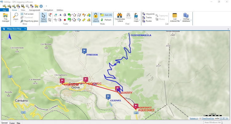 Click to enlarge Description: OkMap is a GPS and map software that: -Works with vectorial maps and calibrates raster maps -Organizes paths by creating waypoints, routes and tracks -Uploads/downloads data to/from your GPS -Uses altitude DEM data -Supports GPS real-time navigation -Sends/receives vehicles position and display tracks on maps in real time -Provides autorouting and geocoding functions -Supports integration with Google Maps/Earth (in 3D also) Potential use: -Search and rescue -Trekking -Off road -Boating -Flying -Mountain bike -Geocaching -Hunting and fishing -Finding mushrooms -Soft air Main features: -Calibrate raster maps with different cartographic projections -Create own digital maps importing / drawing shapes -Create and manage waypoints, routes and tracks in GPX format -Download, save and automatically georeference maps from Google Maps -Support autorouting, geocoding and inverse geocoding functions -Use digital terrain models to store and display elevation -Upload / download data to / from GPS devices -Navigate in real time through NMEA protocol -Map tiling for handheld GPS -Display Google Earth and Google Maps in current map location -Exchange data with Google Earth and view your map in 3D -Find nearby cache in geocaching.com -Exchange data with gpsgate.com server -Receive navigation data from remote GPS devices -Send the current position to an OkMap remote server -Make conversions between coordinates, datums, formats, ... Supported formats: -Images: ECW, BMP, GIF, JPG, PNG, TIF and many others -Maps: World file; ECW; GeoTiff; KML/KMZ; OziExplorer; CompeGps; GPS TrackMaker; GpsTuner -Map Tiling: KML, KMZ, JNX, OruxMaps and OkMap -Vectorial data: SHP, DBF (Esri shape file); DCW (Digital Chart of World) -GPS data: GPX (GPS Exchange Format); CompeGPS, EasyGPS, Fugawi, Garmin, Geocaching LOC, Google Earth (kml/kmz), GPS TrackMaker, Open StreetMap, OziExplorer and others -DEM data (digital earth model): HGT (SRTM-1 e SRTM-3) Recent changes in this Major Update: Remarks - Comments - Reviews (Add your opinion about this program) |
See also in Graphic Painting and Drawing: Miscellaneous and all-in-one
|
|


 Download: