
|

|
|
|
|
File size: 4531 Kb Date: 07/13/2017 Homepage Install support: Install and Uninstall OS: Win2000, WinXP, Win7 x32, Win7 x64, Windows 8, Windows 10, WinServer, WinOther, WinVista, WinVista x64 Requirements: Pentium, 30 MB free HD Language: English, French, German, Greek, Portuguese, Slovenian, Spanish | coordinate, good coordinates or also conversion, converter and convert or free transformation and cheap transform or the system, good datum or also grid, shift and shifts or free reference and cheap ntv2 or the inspire, good meridian or also strip, geographic and longitude or free latitude and cheap wgs84 or the etrs89, good helmert or also molodenski, state and plane or free spcs and cheap nad27 or the nad83 | TRANSDAT 20.40 [Homepage] - by: Killet Software Ing.-GbR - Download links for TRANSDAT 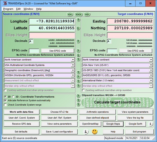 Click to enlarge Description: TRANSDAT geosoftware executes coordinate transformations and geodetic datum shifts between many coordinate and reference systems of America, Australasia, Europe, Germany special and world-wide, with high precision and high speed: 1.The current and historical coordinate and reference systems of all countries of the European Union (EU) including the eastern extensions and the systems of non-EU countries. 2. The INSPIRE supported European ETRS89 systems. 3. The US and Canadian State Plane Coordinate Systems (SPCS) on NAD27 and NAD83 and other coordinate systems of the North American continent. 4. The coordinate and reference systems of the Australasian continent. 5. Many coordinate and reference systems of the countries of other continents. 6. World-wide NTv2 grid file supported coordinate transformations. 7. All global coordinate and reference systems. 8. The German coordinate and reference systems of the old and new federal states, the 40 Prussian Soldner Land Registers, the German Lagestatus, and exact reference systems of the German federal states. You will find a complete list of the coordinate and reference systems supported by the program on the web or after downloading the free test version of the program. The NTv2 standard with national grid files is world-wide full supported. Apart from the given world-wide and state-specific systems, your own personal coordinate systems and geodetic reference systems can be defined with Helmert (Bursa / Wolf, ISO 19111) or Molodensky parameters. Calculations can be performed with coordinates entered directly, loaded from files in various formats (Text, CSV, SDF, dBase, KML, ArcShape, ArcGenerate), or passed by batch processing. ArcShape files can be viewed with the internal Shape Viewer. A programmable GPS interface makes it possible to read coordinates from a low-cost GPS antenna. The program can be run on a network, in which case clients are installed automatically. The program has a multilingual interface. Recent changes in this Major Update: Remarks - Comments - Reviews (Add your opinion about this program) |
See also in Business and Finance: Miscellaneous and all-in-one
|
|


 Download: